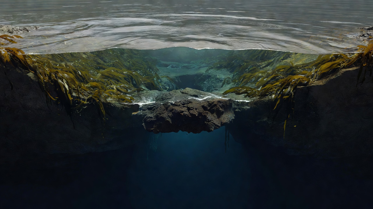
Start with the basin, not the postcard
Fjords are coastal valleys shaped by glaciers and subsequently occupied by the sea. Their steep sides are visually striking, but the underwater shape is just as important. Many have one or more sills: relatively shallow thresholds that influence exchange between deeper inner water and the sea outside. Fjords differ greatly in depth, exposure, freshwater input and circulation.
Sognefjord, Hardangerfjord and Geirangerfjord are real Norwegian examples, not interchangeable ecosystem models. A process described for one basin may operate differently in another. Outside Norway, systems such as Doubtful Sound / Patea in New Zealand and the fjords of southern Chile add further differences in climate, runoff and species. Use “fjord” as a starting description, not a complete ecological explanation.
Look for the influence of freshwater
Rivers and runoff often introduce water that is less salty and therefore less dense than the seawater beneath it. This can produce a surface layer, although wind, tides and other forces mix and move it. Following rain or snowmelt, the size and appearance of a river plume may change. Some plumes are conspicuous; others are difficult to distinguish from shore.
Water colour alone cannot tell you salinity, cleanliness or biological productivity. Suspended sediment, dissolved material, plankton, depth and reflected light can all affect appearance. Record a visible boundary as a boundary. To determine its properties would require appropriate measurements, not a stronger interpretation of the same photograph.
Field prompt
Where does drifting material gather, and does that line change with the tide or wind? Observe the pattern without assuming its cause.
Read the estuary as a transition
Where a river meets tidal water, changing salinity and sediment create a shifting habitat mosaic. Depending on the location, this may include mud, gravel, saltmarsh or submerged vegetation. Shorebirds can use exposed feeding grounds, while fish and invertebrates occupy channels and shallows. Not every fjord head contains every habitat in that list.
Watch from firm, permitted ground. Soft sediment, rapidly flooding channels and river currents can be dangerous even when the surface looks calm. Avoid walking into feeding areas or trampling vegetation to inspect an animal. A tide-aware view from the edge often reveals more about habitat use than a close approach through it.
Kelp adds structure to the shore
Kelp grows where suitable light, substrate and physical conditions allow. Its blades and holdfasts create surfaces and shelter used by many small organisms. Fish may use kelp habitat, and material shed from kelp can enter food webs beyond the growing site. That makes the kelp edge a connection between shoreline structure and wider marine processes.
However, a visible belt of kelp is not evidence that a particular mammal will visit. Growth varies with depth, exposure, grazing and local environmental conditions. View the edge as habitat in its own right. From shore, note whether the plants are attached or drifting and how wave movement changes the space around them. Do not pull plants or turn rocks merely to fill a species list.
The intertidal zone runs on a moving boundary
The area between high and low tide experiences alternating immersion and exposure. Its occupants face drying, temperature changes, wave force and feeding opportunities that vary with water level. Bands of seaweed and attached animals can reflect those pressures, although local rock shape and shelter complicate any simple pattern.
Compare the same stretch at different permitted, safe viewing times. Note the tide stage and recent weather rather than concluding that organisms have disappeared. Leave pools and stones undisturbed. If you are participating in an authorized survey, follow its handling and replacement methods; ordinary recreational observation does not require collecting specimens.
Deep water is not visible evidence
A still surface says little about the oxygen conditions in a deep basin. Restricted exchange, decomposition and the timing of renewal can affect deep-water oxygen in some fjords. Understanding those processes requires monitoring and local oceanographic knowledge. A surface visitor cannot assess the whole water column by looking at clarity or the number of birds.
Nutrient enrichment, warming, changing runoff, construction and marine activities can influence coastal systems in different combinations. Avoid assigning a single cause to an unusual colour, smell or wildlife absence. Record what you actually observe and use official reporting channels for suspected pollution. Urgent hazards should go to the relevant local authority, not to this website’s contact composer.
Connect the habitats carefully
A useful notebook entry follows a chain of questions: what physical feature is present, what living structure uses it, and what behaviour can actually be seen? You might connect a kelp margin to small fish and nearby diving birds, while leaving the prey identity unresolved. That is a meaningful ecosystem observation without claiming to have proved every link.
Return visits can help separate a one-off event from a recurring pattern. Keep the viewpoint, tide stage and weather as comparable as practical. If the scene changes, describe that change before explaining it. The aim is not to turn the fjord into a solved diagram, but to notice relationships with enough patience that the unknown parts remain visible.
Reference routes
- Institute of Marine Research — marine habitats, coastal monitoring and oceanographic research.
- Norwegian Environment Agency — environmental management and protected-area context.
- UNESCO — background on designated natural heritage sites, including the West Norwegian Fjords.